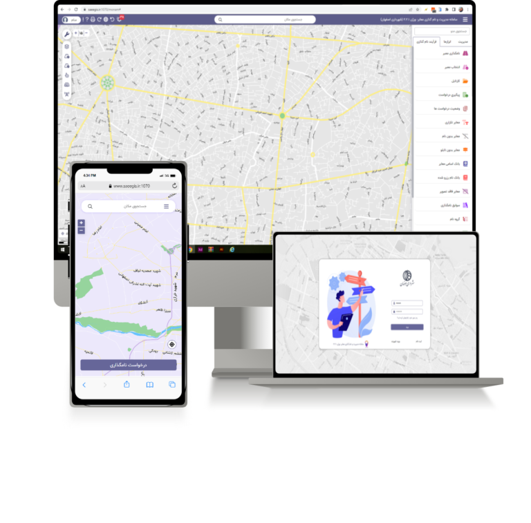
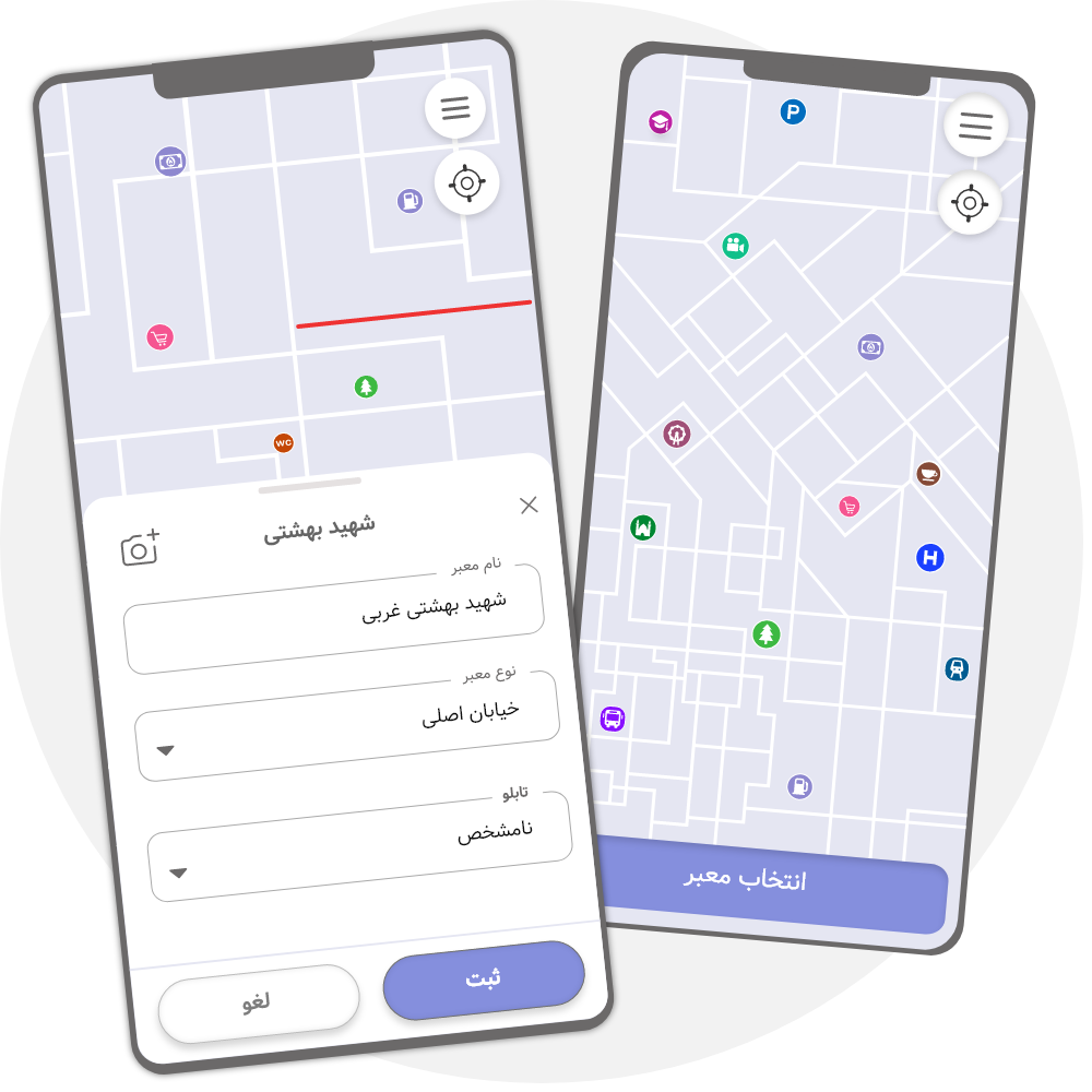
The management of public facilities, facilities and infrastructure requires accuracy and speed, which is done using IT-based services, integrated and accurate geographic information and other information.
Considering the ever-increasing needs of managers of organizations, urban development, citizens and their problems, Sa’i Consultants has been able to develop Seraj’s geographic information system for the use of maps and spatial information in various offices and organizations, which allows easy management, processing of map information and planning in line with It gives the user like land use.
Web technology allows us to access spatial and descriptive data in the shortest possible time with the lowest cost and anywhere.